- info@firealarmfromspace.com
- +1 (202) 256-3190
The Method
From CHIRP to PROJECT HALO
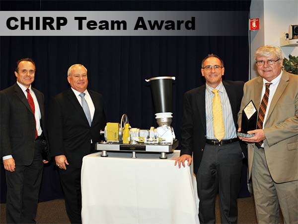
PROJECT HALO will build on the success of the Commercially Hosted InfraRed Payload (CHIRP) Program, which identified the locations of fires while they were still small. Our founding members were critical in the success of the CHIRP program.
This was proven in 2013, when the U.S. Forest Service collaborated with the Department of Defense to showcase the effectiveness of the CHIRP sensor in detecting small, remote fires in California. Over the course of a week, 14 fires broke out. CHIRP successfully detected all of them, and in 13 out of 14 instances, it did so before other detection systems.*
* MG Thomas Taverney, USAF (Ret)
Defence Connect Australia, "The Changed Nature of Missile Defence", 22 November 2021.
Note: This was a classified program and test.
This CHIRP experiment demonstrated heat, smoke, and flame identify specific fire locations to first responders as they arrive on-scene, using:
PROJECT HALO will out perform CHIRP, using:
The final design of PROJECT HALO will be based on the client's satellite location and goals.
What Separates PROJECT HALO from Other Space Based Approaches
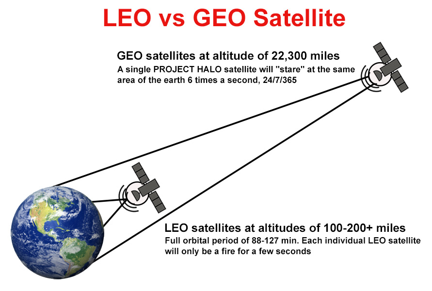
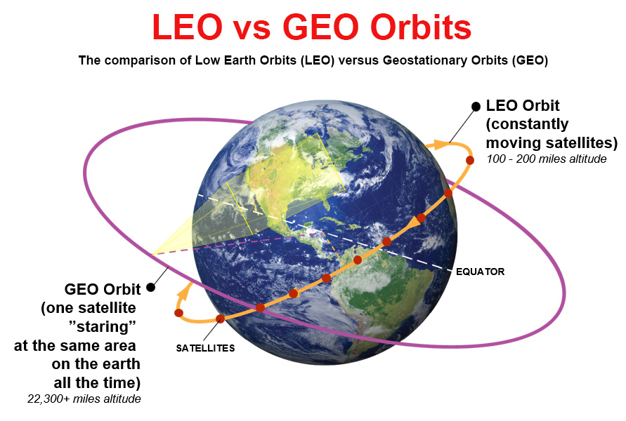
PROJECT HALO will use a new, single satellite, dedicated to "seeing" fires early, based at Geostationary Orbit (GEO, 22,300 miles up) vs Low Earth Orbit (LEO, 100 to 200 miles up). GEO satellites stay in one location relative to a specific spot on the earth, similar to communications satellites/Direct TV, etc.
For LEO based system, you would need hundreds of satellites and an incredibly complex down link/integration of data and analysis capability to achieve the same capability, and each individual LEO satellite will only see a fire for a few seconds. WHEREAS for GEO based PROJECT HALO, only ONE satellite is required, and all the data can be processed ON the satellite and then sent down.
LEO vs GEO Satellites & Orbits
GEO satellites are at altitudes of 22,300 miles. A single PROJECT HALO satellite will "stare" at the same area of the Earth 6 times a second, 24 hrs. a day, 7 days a week, 365 days a year, observing, waiting, and watching for fires to start.
LEO satellites are at altitudes of 100 - 200+ miles. The full orbital period of 88-127 min. For example, instead of "staring" at the same spot on the Earth 24 hours a day, 7 days a week, 365 days a year. If a single satellite in LEO orbit rotates around the Earth and sees the same spot every 88-127 minutes for seconds.
By being in a GEO orbit, the PROJECT HALO satellite rotates at the same rate as the Earth. A massive advantage!
- PROJECT HALO does not actually "see" fires but will repeatedly monitor and autonomously detect changes in temp/radiance within its field of view. We are very, very good at detecting temp/radiance changes.
- A catalog of normal temps/radiances will be maintained for comparison.
- Fires cause clearly identifiable changes in temperature/radiance and, the PROJECT HALO satellite will report it is a fire.
Project Halo Foundation is a registered 501(c)(3) organization.
Copyright ©2024-2026 Project Halo Foundation. All rights reserved.
Home | About Us | The Method | Our Mission | The Facts | Contact